Since ancient times, humans have sought ways to navigate the vast oceans and landscapes around them. From the simple use of the stars at night to the advanced gadgets of today, navigational tools and techniques have evolved significantly. The history of these tools not only showcases human ingenuity but also highlights the quest for exploration and understanding of the world.
As seafarers ventured into unknown waters, they developed instruments that improved accuracy and safety. Devices such as the compass and sextant were game changers that allowed explorers to chart courses across the seas. This article will take readers on a journey through time, revealing how these innovations shaped the way people travel and trade.
Understanding the different navigational methods can inspire a sense of appreciation for the world of exploration. Each breakthrough not only solved a problem but also opened the door to new discoveries. Join in to explore how these powerful tools turned the desires of adventurers into reality.
Early Inventions
Early navigational tools and techniques laid the groundwork for exploration and trade. Ancient civilizations developed methods to guide their journeys using the stars, maps, and natural cues from the environment.
Celestial Navigation
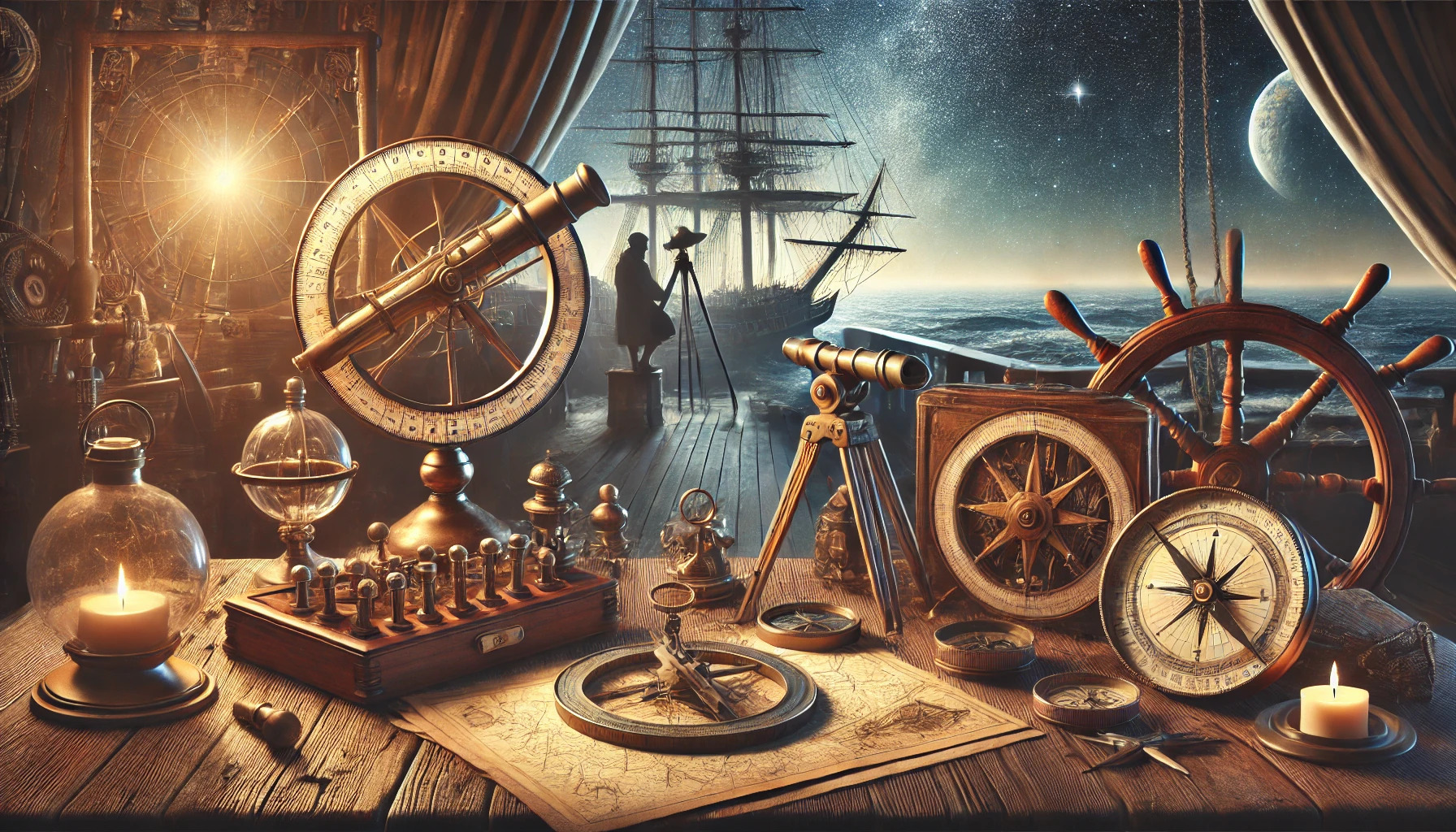
Celestial navigation is a technique that relies on observing celestial bodies. Sailors used stars, the sun, and the moon to determine their position on the sea.
This method became vital for long journeys. Navigators would measure the angle of a star above the horizon. With the help of charts and tables, they could pinpoint their location.
The sextant, developed later, enhanced this process by allowing more precise measurements. This tool became essential in maritime navigation during the Age of Exploration.
Polaris and Its Use in Latitude Calculation
Polaris, the North Star, has been a key reference point for mariners. It remains nearly fixed in the sky, making it an excellent guide for finding latitude.
By measuring the angle of Polaris above the horizon, navigators could determine their latitude. This method is simple yet effective and requires no complicated tools.
Sailors learned to recognize Polaris and its importance. It helped them navigate safely, especially in northern latitudes. Using Polaris marked a significant advancement in early navigation.
The Development of Early Maps and Charts
Early maps and charts played a crucial role in navigation. Ancient cultures, including the Greeks and Romans, created initial maps based on their explorations.
These maps included important landmarks and water routes. They helped sailors understand where they were going and what to expect along the way.
Over time, map-making improved with better measurements and more detailed observations. This progress allowed for more accurate navigation. The introduction of symbols and scales made maps easier to read and use.
The Age of Discovery
The Age of Discovery was a remarkable period marked by significant advancements in navigation. These tools and techniques transformed sea travel, allowing explorers to venture further across uncharted waters. Several key instruments were developed during this time, greatly enhancing how navigators understood their position at sea.
The Astrolabe
The astrolabe was a vital tool for sailors during the Age of Discovery. It allowed navigators to measure the altitude of celestial bodies. By knowing the angle of stars above the horizon, they could determine their latitude.
This instrument had several components, including a rotating dial and a sighting arm. Navigators would sight a star through the arm and read the angle on the dial. The astrolabe was crucial for determining latitude, which was essential for long voyages. It combined astronomy and mathematics to help sailors navigate effectively.
The Magnetic Compass
The magnetic compass changed navigation dramatically. It helped sailors find their direction even when the sun or stars weren’t visible. This tool relied on a magnetized needle that always pointed north, providing a stable reference point.
With the compass, sailors could plot a course over long distances. They learned to navigate over open waters with confidence. This allowed explorers to venture beyond familiar coastlines. It was particularly useful during cloudy or stormy weather when other navigation methods were less reliable.
Cross-Staff and Backstaff
The cross-staff was another important tool for navigators. It measured the angle between the horizon and a star. Sailors would hold the staff at arm’s length, using a movable crosspiece for easy readings.
The backstaff, developed later, improved upon this design. It allowed navigators to measure the sun’s position without looking directly at it. This reduced eye strain and allowed for more accurate readings during the day. Both tools used basic geometry to help explorers determine their latitude, making ocean travel safer.
The Sextant
The sextant became one of the most crucial navigational tools during the Age of Discovery. It allowed for precise measurements of angles between celestial bodies, particularly the sun and stars. Sailors could determine both latitude and longitude, which were key for accurate navigation.
Using a sextant involved aligning the horizon with the celestial body. The instrument features an arc with a small sighting telescope for accuracy. This tool greatly improved long-distance navigation. It made it easier for navigators to return safely to their ports after groundbreaking explorations across vast oceans.
Technological Advancements
Navigational tools and techniques have evolved significantly over the years, driven by technological innovations. These advancements have greatly improved the accuracy and reliability of navigation at sea and on land.
Chronometers and Timekeeping
Chronometers revolutionized navigation by providing precise time measurements. They allowed sailors to determine their longitude at sea by comparing the local time with a reference time from a known location, such as Greenwich Mean Time.
Before chronometers, finding longitude was challenging and often inaccurate. The introduction of these timekeeping devices in the 18th century improved navigation safety. Notable advancements include the work of John Harrison, who created the first reliable marine chronometer.
Modern timekeeping has further enhanced navigation systems through satellite technology and atomic clocks. GPS devices now rely heavily on accurate time signals to pinpoint locations around the globe, demonstrating the lasting impact of early chronometer innovations.
Radio Navigation
Radio navigation emerged in the early 20th century and transformed how ships and aircraft found their way. This system uses radio signals to determine positions more accurately than earlier methods.
One key development was the use of LORAN (Long Range Navigation), which relied on a network of ground-based radio transmitters. It provided users with accurate positioning information by measuring the time it took for radio signals to travel.
Today, more advanced systems like GPS have largely replaced LORAN. However, radio navigation remains valuable for backup and in cases where GPS signals may be unreliable, showcasing its enduring relevance in navigation technology.
Radar and Sonar Systems
Radar and sonar systems provide critical information for navigation and safety. Radar uses radio waves to detect the distance and speed of objects, making it invaluable for ships in busy waters or during poor visibility conditions.
Sonar, short for Sound Navigation and Ranging, uses sound waves to locate underwater objects, such as submarines and obstacles. It’s also crucial for mapping the ocean floor, helping improve navigation routes.
Both technologies have advanced significantly. Modern radar systems can track multiple objects while sonar can generate detailed images of underwater landscapes. As a result, these tools enhance maritime safety and operational efficiency.
Modern Navigational Systems
Modern navigational systems have transformed how people and vessels find their way. These systems use advanced technology to provide accurate and reliable location information, ensuring safety and efficiency.
Global Positioning System (GPS)
The Global Positioning System (GPS) is a satellite-based navigation tool. It consists of at least 24 satellites orbiting Earth, sending signals to GPS receivers.
GPS provides precise location data, allowing users to determine their position within a few meters. This technology is used in cars, boats, and even smartphones, making navigation easier and more accessible.
GPS is especially useful for maritime navigation. It helps sailors track their routes and navigate through challenging waters. This reliability has made GPS an essential part of modern navigation.
Inertial Navigation Systems
Inertial Navigation Systems (INS) use accelerometers and gyroscopes to determine a vehicle’s position and movement without external references. This system calculates changes in velocity and direction to track movement over time.
INS is often used in aircraft and submarines where GPS signals might be weak or unavailable. By relying on internal sensors, INS provides continuous navigation information.
This system is particularly valuable for avoiding detection in military operations. It ensures that vessels can navigate stealthily and accurately, helping maintain operational security.
Automated Electronic Charts
Automated Electronic Charts (AEC) are digital maps used for navigation. They replace traditional paper charts, offering a more dynamic and interactive experience.
AEC systems display real-time information, including ship positions, weather updates, and navigational hazards. This information helps sailors make informed decisions while at sea.
The use of AEC improves safety by providing alerts for potential dangers. They can also integrate with GPS and INS for enhanced navigation accuracy, making them vital tools for modern mariners.