The Golden Age of Exploration marked a fascinating time when adventurers set sail to uncover the unknown realms of the world. This era was defined by daring voyages that not only expanded trade routes but also transformed the way people viewed geography. By mapping the seas and distant lands, explorers laid the groundwork for modern cartography and a new understanding of global connections.
Maritime maps from this period reveal not just the physical layout of the world but also the cultural exchanges that occurred as a result of exploration. Each chart was a reflection of the mix of knowledge, artistic styles, and the ambitions of those who dared to venture beyond familiar shores. Understanding these maps offers valuable insight into how Europe shaped its worldview during the Age of Discovery.
As adventurers braved the waves in search of new lands, their experiences were documented in intricate maps that flourished in diversity and creativity. These maps became more than navigation tools; they served as symbols of human curiosity and the desire to explore beyond the horizon. Exploring the stories behind these charts enriches the journey into a time when the sea was both a boundary and a bridge to the world.
The Dawn of Global Navigation
During the Age of Exploration, significant changes occurred in shipbuilding and navigational technology. These advancements made long sea voyages possible and opened up the world to new discoveries.
Advancements in Shipbuilding
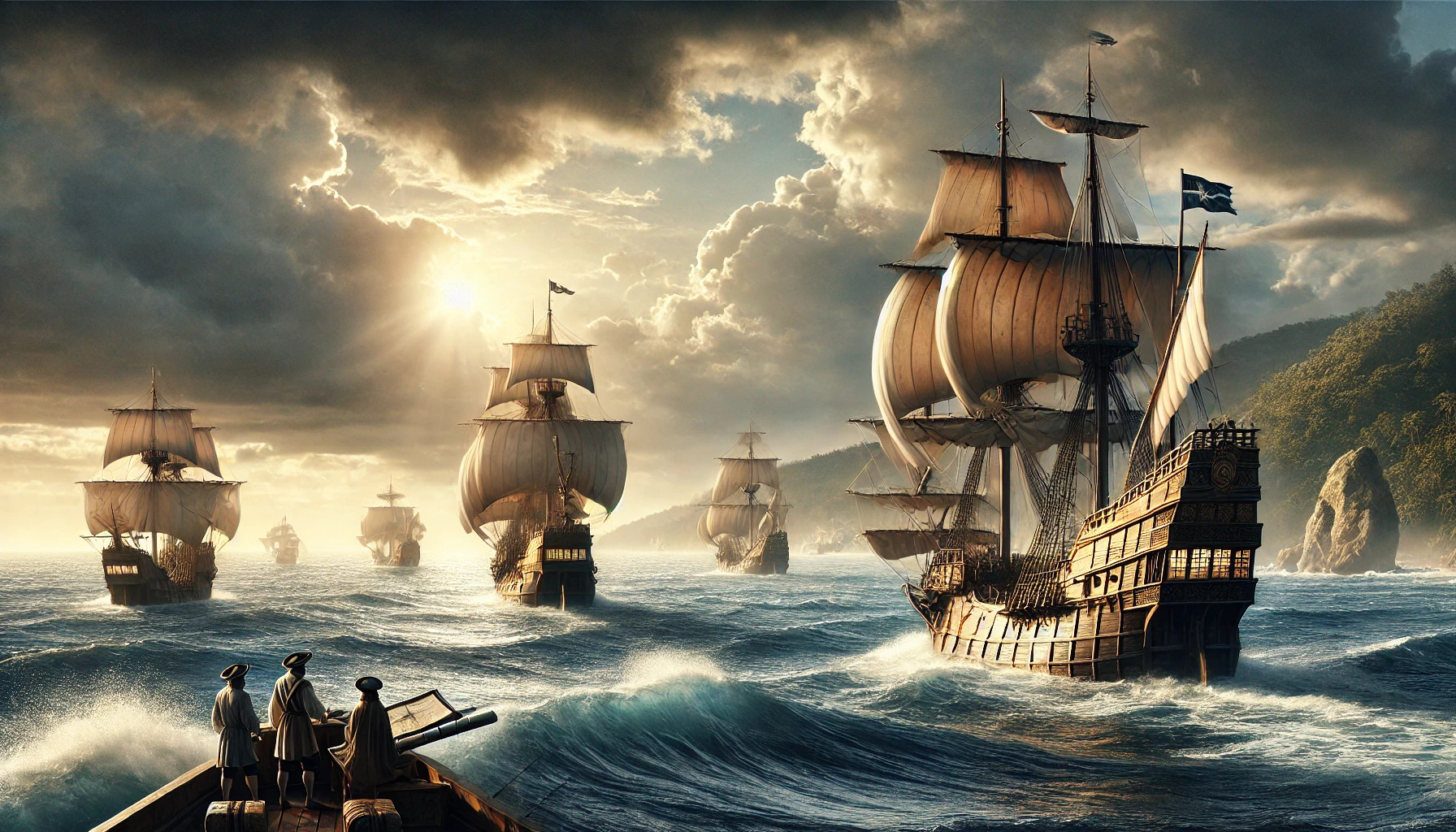
The design of ships evolved to meet the demands of exploration. Caravels, for instance, were smaller and more maneuverable than earlier ships. Their lateen sails allowed for better wind direction control.
Galleons emerged later, featuring larger hulls for carrying cargo and troops. These ships could withstand rough seas and travel longer distances. Their durability and design made them favored vessels for explorers.
Shipbuilders began using stronger materials, improving the overall safety and efficiency of sea travel. This combination of design and craftsmanship helped explorers venture into unknown waters with greater confidence.
Navigational Instruments
Navigators relied on various instruments to guide their journeys. The compass became essential, providing sailors with a reliable sense of direction. This tool helped them steer their ships even in unfamiliar territories.
Another important instrument was the astrolabe. It allowed sailors to determine their latitude based on the position of the stars. This knowledge was crucial for avoiding dangerous waters and staying on course.
As navigational skills advanced, so did the creation of detailed maps. Cartographers began to chart the waters more accurately, helping explorers navigate with more certainty. These innovations transformed the way people viewed and traveled the world.
Renowned Explorers and Their Voyages
The Golden Age of Exploration introduced several key figures who made significant impacts on how people viewed the world. Their voyages not only expanded geographical knowledge but also changed trade and culture.
Christopher Columbus
Christopher Columbus is one of the most famous explorers in history. In 1492, he set sail from Spain with three ships: the Niña, the Pinta, and the Santa María. His goal was to find a westward route to Asia.
Instead, Columbus landed in the Bahamas, believing he had reached the East Indies. He made four voyages to the New World, exploring parts of the Caribbean like Cuba and Hispaniola. Columbus’s discoveries opened up the Americas to European exploration and colonization.
His journeys began an era of transatlantic exploration and sparked the exchange of goods and culture between Europe and the Americas. This event became known as the Columbian Exchange.
Vasco da Gama
Vasco da Gama, a Portuguese explorer, made a significant mark on maritime history. In 1497, he sailed from Lisbon towards India, aiming to establish a sea route to the spice markets of the East.
Da Gama’s voyage around the southern tip of Africa to reach India was groundbreaking. He became the first European to reach India by sea, arriving in Calicut in 1498. This journey opened up the first ocean route connecting Europe and Asia.
His successful expedition allowed Portugal to dominate the spice trade and establish a global trading empire. Da Gama’s discoveries boosted European interest in exploring the Indian Ocean.
Ferdinand Magellan
Ferdinand Magellan is known for his attempt to circumnavigate the globe. In 1519, he embarked on a daring expedition with a fleet of five ships. His journey aimed to find a western route to the Spice Islands.
Magellan faced numerous challenges, including harsh weather and treacherous waters. He discovered the Strait of Magellan, which connects the Atlantic and Pacific Oceans. His fleet became the first to sail across the Pacific Ocean.
Tragically, Magellan did not complete the journey. He was killed in the Philippines in 1521. Nonetheless, one of his ships, the Victoria, continued the voyage and returned to Spain in 1522, proving that the world could be circumnavigated by sea.
Economic and Political Impacts
The Age of Exploration brought significant economic and political changes to the world. Notably, the demand for spices and new goods created a dynamic trade environment, leading to the rise of powerful colonial empires. This period also saw the establishment of maritime laws and treaties that shaped international relations.
The Spice Trade
The spice trade played a crucial role in the economy of Europe during the Age of Exploration. Spices such as pepper, cinnamon, and nutmeg were highly valued for their ability to preserve food and enhance flavors.
European nations competed fiercely to control these valuable resources. Portugal and Spain were at the forefront, establishing trade routes to the East Indies.
Merchants and traders brought enormous wealth back to Europe, leading to the growth of cities and the rise of a wealthy merchant class. The spice trade not only influenced economies but also sparked curiosity about distant lands.
Colonial Empires
The ambitions of European powers led to the creation of vast colonial empires. Nations like England, France, and the Netherlands established colonies across the Americas, Africa, and Asia.
These empires sought new lands for resources, agriculture, and labor. By establishing colonies, they expanded their political influence and ensured a steady supply of goods for European markets.
Colonization often led to complex relationships with indigenous populations. While it enriched European nations, it also caused significant disruption and suffering for local cultures.
Maritime Laws and Treaties
As exploration expanded, new maritime laws and treaties emerged to govern trade and territorial claims. Treaties such as the Treaty of Tordesillas in 1494 divided newly discovered lands between Spain and Portugal.
These agreements sought to reduce conflict between competing nations. They formalized the rules of engagement at sea, establishing rights to navigation and trade routes.
Maritime laws also addressed piracy and the safety of trade vessels. Nations began to recognize the need for cooperation, leading to a more structured system of international trade.
Cartographic Advancements
During the Golden Age of Exploration, significant developments in cartography transformed how people understood the world. Advances in map-making techniques and contributions from notable mapmakers shaped this exciting period in history.
The Evolution of Maps
Maps evolved dramatically from the medieval period to the Age of Exploration. Early maps often featured limited information and were quite symbolic.
With new discoveries, cartographers began focusing on accuracy and detail. They utilized better tools, such as the astrolabe and compass, to improve navigation.
This resulted in more precise maps that reflected coastlines, sea routes, and territories accurately. The introduction of scales and latitude and longitude further enhanced the usefulness of these maps.
Notable Mapmakers
Several key figures made a mark during this time. Among them was Gerardus Mercator, known for his world map created in 1569. His map used a cylindrical projection, which greatly improved navigation by allowing sailors to plot straight-line courses.
Another important mapmaker was Abraham Ortelius. He published “Theatrum Orbis Terrarum” in 1570, considered the first modern atlas. This collection of maps unified geographic knowledge of the time.
These mapmakers not only contributed to the art of cartography but also changed how people viewed the world. Their work laid the foundation for future explorations and advancements in mapping techniques.