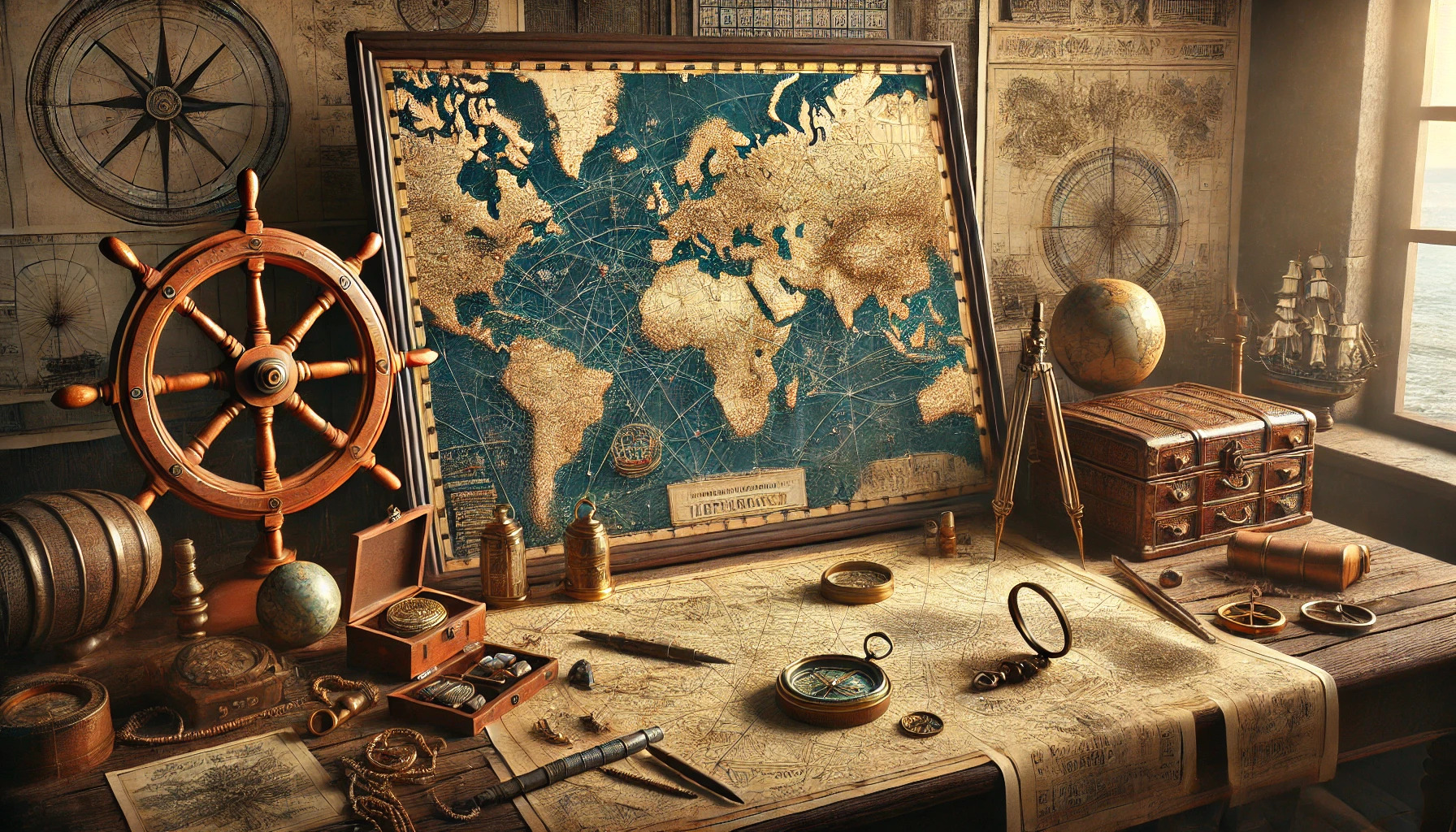
Maritime maps have played a crucial role in shaping exploration throughout history. By providing detailed representations of coastlines, currents, and sea routes, these maps enabled sailors to navigate unknown waters with confidence. The development of cartography transformed exploration, allowing for safer voyages and the discovery of new lands.
During the Age of Exploration, cartographers began to use mathematical principles, making maps more accurate than ever before. Innovations such as the introduction of latitude and longitude made it easier for navigators to locate their positions on the globe. This led to an increase in maritime trade and the exchange of cultures across oceans.
Today, the legacy of these historical maritime maps continues as modern technology enhances how people interact with geography. Digital cartography allows for real-time navigation and better understanding of the world’s oceans. Understanding how these maps evolved can inspire a deeper appreciation for both history and the seas.
Early Cartography and Maritime Navigation
The early days of cartography laid the groundwork for maritime navigation. Navigators relied heavily on celestial bodies and primitive maps to find their way across the seas. This period saw significant innovations that transformed exploration and expanded the boundaries of the known world.
From Stars to Maps: Evolution of Sea Charts
Before the creation of detailed maps, sailors based their navigation on the stars. They used constellations for guidance, making their journeys dependent on weather and night visibility. As exploration grew, more structured sea charts emerged.
These early nautical maps showed coastlines, landmarks, and sea routes. They evolved from simple sketches to more detailed representations, incorporating new knowledge from voyages. Sailors recorded ocean currents, tides, and winds, enhancing navigational precision.
Key Features of Early Sea Charts:
- Coastlines marked with symbols
- Early use of latitude and longitude
- Simple illustrations of landforms
This evolution of charts allowed explorers to venture farther into unknown waters. New techniques, such as dead reckoning, improved the accuracy of marine navigation.
Notable Cartographers and Their Contributions
Several cartographers significantly advanced maritime navigation. One of the most famous was Martin Waldseemüller, whose maps in the early 1500s included detailed coastlines. He is credited with introducing the term “America” to maps.
Another important figure was Gerardus Mercator, known for his 1569 world map. His projection allowed navigators to plot straight-line courses on a curved surface. This innovation revolutionized navigation by simplifying route planning.
Other Influential Cartographers:
- Ptolemy: His work laid the foundation for geographic studies.
- Abraham Ortelius: Created the first modern atlas in the 16th century.
These cartographers and their contributions played vital roles in shaping maritime navigation, helping explorers chart the vast oceans more effectively.
The Age of Discovery: Maps That Shaped the New World
During the Age of Discovery, maritime maps played a crucial role in exploring and reshaping the world. Explorers relied on these maps to navigate uncharted waters and establish new trade routes. The advancements in cartography helped different nations compete for wealth and power in the New World.
Pioneering the Atlantic: Charting New Trade Routes
As explorers ventured into the Atlantic, maps became essential for charting new trade routes. With the rise of maritime nations like Spain and Portugal, detailed maps guided ships across the ocean.
These maps included information about wind patterns, currents, and the locations of islands. This knowledge was vital for successful navigation and reduced travel times. The accuracy of maps improved as explorers shared their findings, allowing future voyages to be more efficient.
Maps not only showed land borders but also indicated potential trade routes for spices, gold, and other valuable goods. The resulting trade networks connected Europe with the Americas and Africa, changing economies and cultures forever.
The Race to the Far East: Cartographic Rivalries
The quest for new trade routes to the Far East ignited intense competition among European powers. Spain, Portugal, England, and the Netherlands each sought to improve their maritime maps. The goal was to secure a faster route to Asia for lucrative spices and silks.
As countries raced to map new territories, they also engaged in cartographic rivalries. Each nation tried to outdo the others by creating the most accurate and detailed maps. The Treaty of Tordesillas, for example, divided newly discovered lands between Spain and Portugal, based on their maps.
In this competitive environment, inaccuracies and exaggerations often crept into maps. Some maps misrepresented coastlines or included mythical lands to attract interest. Nevertheless, these maps fueled exploration and inspired countless adventures in pursuit of new resources and trade opportunities.
Technological Advancements in Nautical Cartography
Nautical cartography evolved significantly with key tools and innovative methods. The developments in navigation instruments and the rise of printing technology transformed how maps were created and shared.
The Compass and The Quadrant: Tools That Guided Explorers
The compass was a groundbreaking tool in navigation. It helped sailors determine their direction with more accuracy than ever before. Initially developed in China, the compass used a magnetized needle that aligned itself with Earth’s magnetic field.
The quadrant further enhanced navigation by allowing explorers to measure the altitude of celestial bodies. This helped them determine their latitude while at sea. With these two tools, navigators could embark on longer and safer voyages, significantly impacting exploration.
Both tools contributed to more precise mapping of coastlines and bodies of water. As these instruments grew in popularity, they made exploration accessible to many countries, paving the way for future discoveries.
The Impact of Printing Press on Map Distribution
The invention of the printing press in the 15th century changed everything about map-making. Before its arrival, maps were hand-drawn, making them rare and expensive. The printing press allowed for faster production and distribution of maps.
Maps could now reach a wider audience, which fostered interest in exploration and trade. This accessibility helped sailors and traders alike plan their journeys more effectively.
Furthermore, printed maps often included updated information. As explorers embarked on new adventures, they shared their findings, enhancing the accuracy of future maps. This technology led to a richer understanding of the world’s oceans and coastlines, which was crucial for maritime navigation.
Accuracy and Mystique: The Challenge of Depicting the Oceans
Creating accurate maritime maps poses unique challenges. The vastness of oceans and their hidden dangers require precision in navigation. Cartographers must balance factual representation with the myths that have colored the perception of sea travel.
Charting Mythical Sea Monsters and Real Dangers
In earlier times, maps often included illustrations of mythical sea creatures, such as krakens and mermaids. These images sparked the imagination but also reflected sailors’ fears of the unknown. The real dangers included treacherous currents, submerged rocks, and unpredictable weather.
Many cartographers used these fantastical elements to fill in gaps in their knowledge. Some believed that depicting monsters would deter sailors from exploring certain areas. Despite these embellishments, maritime maps served essential roles in guiding ships safely across perilous waters.
Improving Precision: Latitude, Longitude, and Beyond
As navigation evolved, so did the need for accuracy. The introduction of latitude and longitude fundamentally changed maritime cartography. Sailors began to rely on these coordinates to pinpoint their locations on the open sea.
The invention of tools like the sextant improved sailors’ ability to measure angles and determine their position. With advancements in technology, cartographers gathered data more efficiently. They produced more precise charts that helped reduce the risks of ocean travel.
Today, GPS technology has further revolutionized navigation, making it easier than ever to safely explore the world’s oceans.
Mapping the World’s Waters: Influences on Modern Cartography
Advancements in vessel technology and mapping tools have significantly shifted how cartographers create maritime maps. These changes reflect the needs of explorers and the growing complexity of marine navigation.
From Sail to Steam: How Changing Vessels Changed Maps
As ships evolved from sail to steam, so did the approach to cartography. Sailing ships relied on wind patterns and currents, which were accurately represented through detailed wind and tidal charts.
With steamships, travel became faster and more direct. This shift required cartographers to create new types of maps, emphasizing straight routes and navigational aids. Improved accuracy in measuring latitude and longitude also played a crucial role.
These maps began incorporating information about shipping lanes and ports, which helped in planning more efficient journeys. The more comprehensive mapping allowed for safer navigation, significantly influencing trade and exploration during the 19th century.
Satellites and Sonar: Modern Tools for Marine Maps
The introduction of satellites and sonar revolutionized marine cartography. With satellite technology, cartographers can now gather data from space, providing high-resolution imagery of ocean surfaces. This breakthrough offers insights into currents, temperatures, and even chlorophyll levels.
Sonar, on the other hand, helps map the ocean floor. Through sound waves, it reveals underwater features such as mountains, valleys, and shipwrecks. This data is crucial for navigation and research.
Combining satellite data with sonar creates highly detailed maritime maps. These advanced tools ensure safer navigation and enhance understanding of marine ecosystems, allowing for more effective conservation efforts.
Environmental and Political Impacts on Maritime Maps
Maritime maps are not just tools for navigation; they play critical roles in environmental management and political negotiations. The way these maps are created and used can have significant consequences for territorial disputes and conservation efforts, especially in the face of climate change.
The Role of Maps in Territorial Disputes and Conservation
Maritime maps are essential in resolving territorial disputes between nations. They illustrate boundaries that can lead to conflicts over fishing rights, oil reserves, and shipping lanes. Countries rely on these maps to assert claims and negotiate with one another.
In terms of conservation, maps help identify critical habitats and marine protected areas. Cartography enables planners and policymakers to visualize ecosystems. By marking off areas for protection, maps support efforts to conserve biodiversity. Effective mapping can lead to sustainable practices, reducing the impact of human activities on marine environments.
Climate Change and Shifting Seascapes: Adapting Cartographic Practice
Climate change is altering marine landscapes. Rising sea levels and shifting ecosystems demand an update in cartographic practices. Maps must now reflect these changes to effectively guide management and conservation efforts.
Cartographers are increasingly using advanced technologies like satellite imagery and GIS. These tools provide real-time data, allowing for more accurate representations of the changing environment. As seascapes evolve, updated maps can better inform policies. This adaptation is crucial for sustainable maritime management in an uncertain future.