Sailors have relied on various instruments for navigation for centuries. These tools, such as compasses and sextants, are essential for safely navigating the open sea. Understanding how these seafaring instruments work can greatly enhance a sailor’s ability to plan and navigate efficiently.
With advancements in technology, modern sailors have access to a wider range of tools that complement traditional ones. GPS systems and electronic navigation devices make it easier to determine positions and avoid hazards. This blend of old and new navigational methods offers a fascinating look into the world of seafaring.
Exploring these instruments reveals their historical significance and continued importance in maritime activities. From the simple compass that helps with direction to the complex sextant used for calculating latitude, each tool plays a vital role. Knowing about these instruments can inspire a deeper appreciation for the art and science of navigation.
A Brief History of Maritime Navigation
Maritime navigation has evolved drastically over centuries, shaping how people travel and trade across oceans. From relying on natural elements to using advanced instruments, this history reveals human ingenuity in exploration at sea.
From Stars to Instruments
In ancient times, sailors depended on the stars and landmarks to find their way across the seas. They observed celestial bodies, using them to gauge their position. Navigators recognized that the North Star provided a reliable point of reference in the night sky.
As civilizations advanced, they developed more complex tools. Early maps showed coastal features and currents, while basic tools allowed them to measure wind and tides. These innovations laid the groundwork for more sophisticated navigational instruments.
Evolution of the Compass
The compass was a game-changer in navigation. Early versions, found in China, pointed south, unlike today’s compasses that point to the north. By the 14th century, the compass became essential for sailors, providing a reliable direction at sea.
The adoption of the compass led to increased exploration. Mariners could venture farther into open waters without losing their way. This reliable instrument marked a shift from celestial navigation to more precise methods and expanded trade routes across the globe.
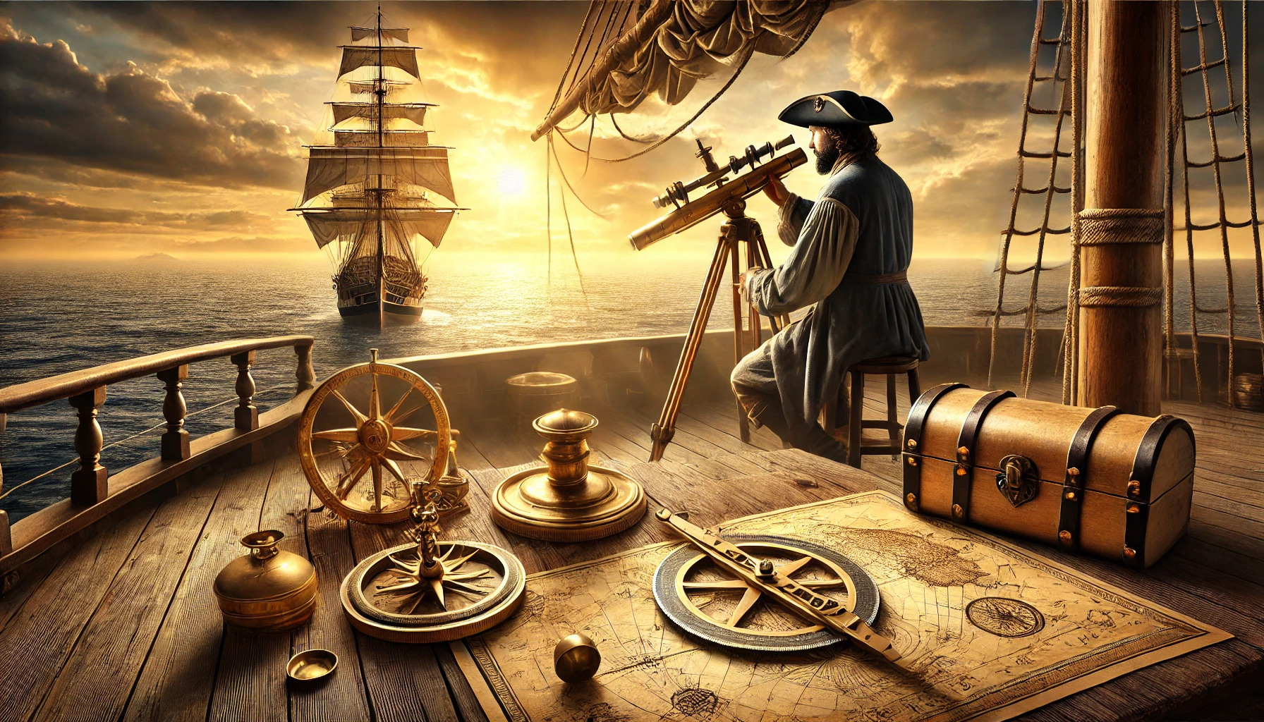
The Age of the Sextant
The sextant emerged in the 18th century as a revolutionary instrument for navigation. This tool allowed mariners to measure the angle between a celestial body and the horizon. By calculating this angle, they could determine their latitude with great accuracy.
The sextant improved long-distance sailing safety. It enabled navigators to plot their course more reliably, reducing the chances of getting lost. With this advancement, sea travel became more efficient, paving the way for exploration and trade to flourish.
Understanding the Magnetic Compass
The magnetic compass is a crucial tool in navigation, guiding seafarers by pointing towards magnetic north. Understanding its principles and variations can help appreciate its role in maritime exploration.
Principles of Operation
The magnetic compass operates based on the Earth’s magnetic field. It consists of a magnetized needle that can pivot freely. This needle aligns itself with the Earth’s magnetic lines, pointing towards the north.
When a compass is held level, the needle swings until it settles in the north-south direction. Navigators use this orientation to determine their heading. The compass rose, marked with directions, helps sailors quickly find their way.
Factors can affect accuracy, including nearby metal objects and magnetic interference. Operators should be aware of these influences to maintain accurate navigation. Understanding these principles ensures better use of the compass.
Types and Variations
There are several types of magnetic compasses designed for different uses. The most common is the dry compass, which has a magnetized needle mounted on a pivot. It is simple yet effective for most navigation tasks.
Another variation is the liquid-filled compass, which reduces movement of the needle and increases stability at sea. These compasses often come with a card that displays directions clearly.
Further advancements include the global positioning system (GPS), which, while not magnetic, uses satellites to determine location. Still, the traditional magnetic compass remains vital for backup navigation, especially when electronic devices fail. Knowing these types helps navigators choose the right tool for their journeys.
The Sextant and Celestial Navigation
The sextant is a vital tool in celestial navigation, allowing navigators to measure the angle between a celestial body and the horizon. This instrument has been crucial for determining position at sea for centuries.
How a Sextant Works
A sextant measures angles by using a scale and sighting mechanism. It consists of a frame, an arc, and a movable arm called an index arm.
- Measuring Angles: The user aligns a celestial body, like the sun or a star, with the horizon.
- Reading the Scale: The angle is read off a graduated scale on the arc. The precision of a sextant can be within seconds of a degree, making it highly accurate.
Finally, the obtained angle helps in calculating latitude and longitude, essential for navigation.
Modern Uses of the Sextant
Sextants remain relevant in modern seafaring despite advances in technology. They serve as backup instruments for electronic GPS systems.
- Sailing Education: Many sailing schools teach using sextants to prepare sailors for unexpected situations.
- Historical Interest: Enthusiasts and historians value sextants for their role in maritime exploration.
In a world of technology, the sextant symbolizes traditional navigation skills, reminding sailors of their nautical heritage.
Modern Navigational Tools
Navigational tools have evolved significantly over the years. Today, technology plays a central role in helping sailors and navigators find their way safely across the seas. Key modern systems include Global Positioning Systems (GPS) and Automated Identification Systems (AIS).
GPS and Satellite Systems
GPS uses a network of satellites to provide accurate location information anywhere on Earth. Sailors rely on GPS devices to determine their position in real-time.
These systems can display coordinates in various formats, making it easier for users to understand their exact location.
In addition to positioning, GPS allows for route planning. Sailors can map out courses and adjust them as needed while on the water.
GPS units are often equipped with additional features, including speed tracking and waypoint marking. These capabilities enhance safety and navigation efficiency.
Automated Identification Systems (AIS)
AIS is a technology that improves maritime safety by broadcasting a vessel’s position and information to nearby ships. This helps crews avoid collisions and navigate busy waterways.
Typically, AIS systems show a ship’s course, speed, and destination. This information enables better communication between vessels and allows for more informed navigating decisions.
Almost all commercial ships are required to have AIS. However, recreational boaters are encouraged to use this system for added safety.
By receiving data from other vessels, captains can maintain situational awareness and make timely adjustments to their routes. AIS has become a vital tool in modern maritime navigation.