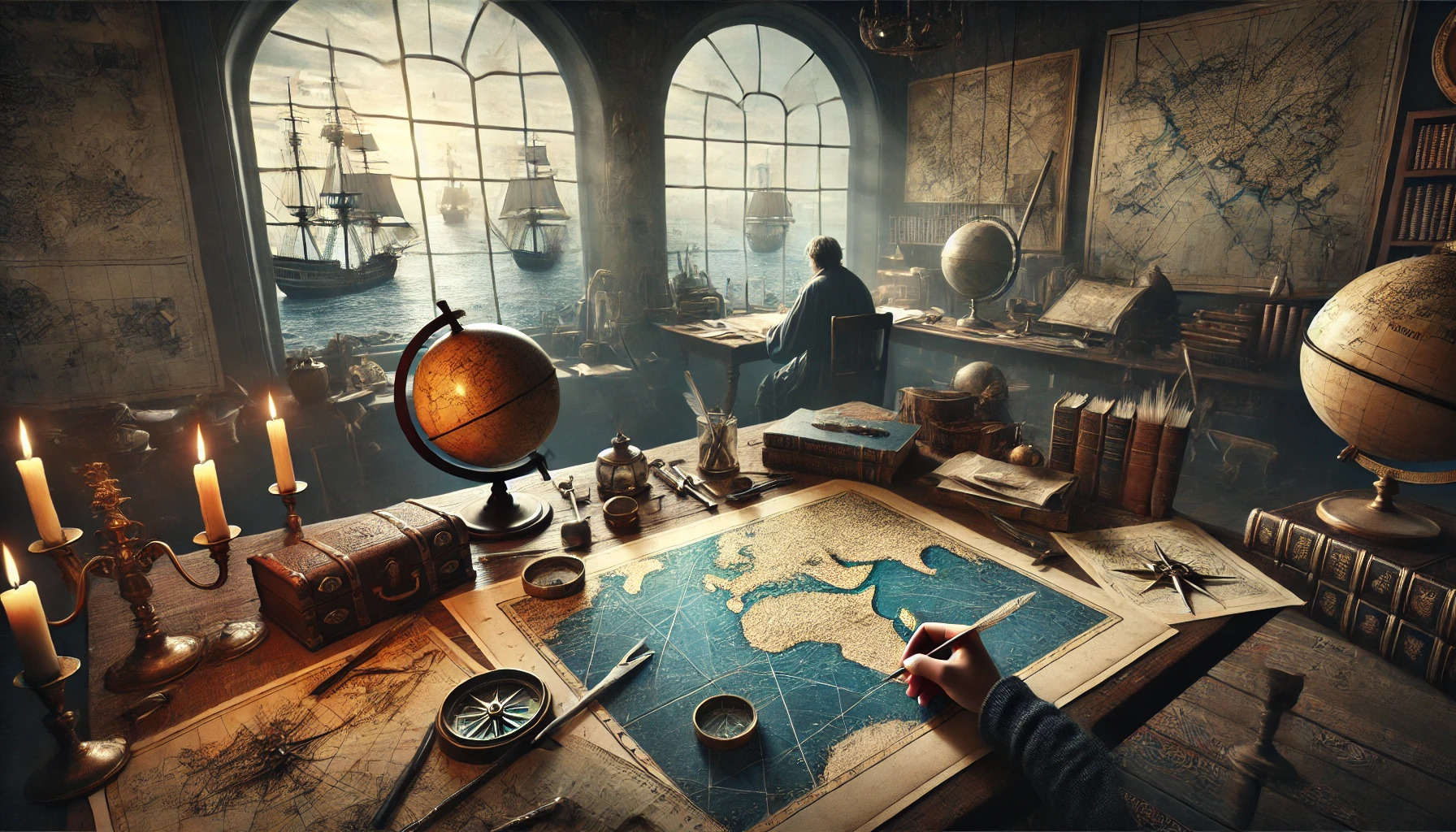
Exploring the vast oceans has always depended on the skill and knowledge of cartographers. These individuals played a crucial role in shaping maritime history by creating maps that guided sailors through uncharted waters. From ancient times to the Age of Exploration, their work not only aided navigation but also opened the door to new trade routes and encounters between distant cultures.
Cartographers combined observations with their knowledge to depict the complexities of the seas. Each chart they made was a blend of science and art, filled with symbols and markers that represented both land and sea. Their efforts helped transform vague ideas of the world into detailed guides, making exploration safer and more achievable for future generations.
As explorers set sail into the unknown, they relied heavily on these maps, often risking their lives for the chance of discovery. The world of cartography was not without its challenges and mysteries, making it an intriguing part of maritime history. By understanding the pivotal role of cartographers, readers can appreciate how their contributions laid the groundwork for modern navigation and global exploration.
The Dawn of Maritime Mapping
Maritime mapping began with ancient mariners and evolved through the medieval period. Each stage contributed significantly to navigating the seas and understanding geographic locations.
Ancient Mariners and the First Charts
Ancient mariners were pioneers in creating early maps. They developed simple charts based on their sailing experiences. These charts often featured coastlines, currents, and landmarks.
The Phoenicians, skilled sailors of the Mediterranean, helped advance maritime mapping. They made notable contributions by charting routes between distant lands. Their maps relied on observable natural features and the position of stars.
In addition to the Phoenicians, the Greeks produced some of the earliest known maps. Figures like Ptolemy created works that combined geography with mathematical precision. These maps set the groundwork for future navigation and exploration.
Medieval Portolan Charts: Navigating the Mediterranean
During the medieval period, portolan charts emerged as vital navigational tools. These maps focused on coastal areas and were known for their accuracy. They used compass roses to indicate directions clearly.
Portolan charts featured detailed drawings of harbors, bays, and important landmarks. Sailors relied on them for safe navigation through often-treacherous waters. The charts were hand-drawn and required a deep understanding of geography and seafaring.
Italian cartographers played a significant role in developing these charts. Cities like Genoa and Venice became hubs for advanced maritime mapping. This growth allowed for further exploration and trade, significantly impacting maritime history.
The Age of Discovery: Expanding Horizons
During the Age of Discovery, advancements in cartography played a crucial role in shaping maritime exploration. New techniques and innovations led to more precise maps, which helped explorers navigate the unknown seas and expand their horizons.
Renaissance Innovations in Cartography
The Renaissance marked a turning point in cartography. Innovations such as the magnetic compass and the astrolabe allowed cartographers to create more accurate maps.
Printing technology also transformed map-making. Printed maps became more accessible, spreading knowledge across Europe. This increase in demand led to the production of detailed maps that included coastlines, rivers, and topographical features.
Cartographers like Gerardus Mercator introduced projection systems that improved how the world was depicted. His famous projection helped sailors visualize their routes more clearly. These innovations made navigating the oceans safer and more efficient.
Explorers and the Maps of New Worlds
Explorers relied on detailed maps to find new lands during the Age of Discovery. Figures like Christopher Columbus and Vasco da Gama used maps to journey across uncharted waters. Their discoveries expanded European understanding of geography.
As explorers returned home, they brought back new knowledge and information. They updated existing maps, which now included regions like the Americas and parts of Asia. This exchanged information was vital for further exploration and trade.
The demand for such maps soared as nations sought new territories and resources. Cartographers recorded explorers’ findings, ensuring that the information spread quickly. This exchange greatly influenced trade routes and colonial ambitions.
Navigational Tools and the Cartographer’s Craft
Navigational tools played a crucial role in helping cartographers create accurate and reliable maps. Understanding these tools, such as the compass rose and latitude lines, is essential for grasping how navigators mastered the seas. Additionally, the process of making a nautical chart reflects the skill and knowledge required in cartography.
The Compass Rose and Latitude Lines
The compass rose is a vital feature on maps. It indicates the cardinal directions: north, south, east, and west. This tool helps sailors understand where they are headed and the direction they need to travel.
Latitude lines are equally important. They run parallel to the equator and help measure distances north and south. Cartographers used these lines to create a grid system that aids in pinpointing locations. Together, the compass rose and latitude lines form the backbone of maritime navigation, allowing explorers to traverse uncharted waters confidently.
The Making of a Nautical Chart
Creating a nautical chart involves meticulous work. Cartographers collected data from various sources, including explorers’ logs and oceanic observations. They evaluated geographic features, such as coastlines and depth contours, to ensure accuracy.
Once data was gathered, cartographers employed traditional tools like compasses and dividers. They drew detailed representations of maritime areas, using symbols for hazards, ports, and depth measurements. The result was a chart that provided navigators with essential information to safely navigate the seas.
Through careful craftsmanship, nautical charts evolved into indispensable tools in maritime history, guiding sailors on their journeys.
The Impact of Cartography on Maritime Trade and Warfare
Cartography has played a crucial role in shaping maritime trade and warfare. Accurate maps allowed sailors to navigate complex waters and influenced strategies in naval battles. The importance of charts in connecting cultures and economies is evident throughout history.
Trade Routes and Treasure Maps
Trade routes were vital for the exchange of goods between nations. Cartographers created detailed maps that highlighted these paths, showing locations of ports and navigational hazards.
These maps guided traders in seeking lucrative opportunities. For example, the spice trade relied on precise routes noted in historical naval charts. Treasure maps also emerged, often linked to pirate lore, enticing explorers to uncover hidden wealth.
The blend of adventure and accurate navigation helped enhance global trade. Merchants relied on these maps to minimize risks while maximizing profits.
Strategic Advantages: Maps in Naval Battles
In warfare, maps were indispensable for strategic planning. They provided commanders with insights into enemy positions, terrain, and potential naval choke points. Accurate maps were essential during significant conflicts, guiding fleets through hazardous waters.
For instance, naval maps helped tactics evolve during major battles by illustrating the geography of the battlefield. The positioning of forces relied heavily on the information found in historical naval maps.
In addition, the development of accurate cartographic techniques allowed nations to project power and expand their empires. Consequently, maps became tools not just for navigation but for asserting control over sea routes and territories.