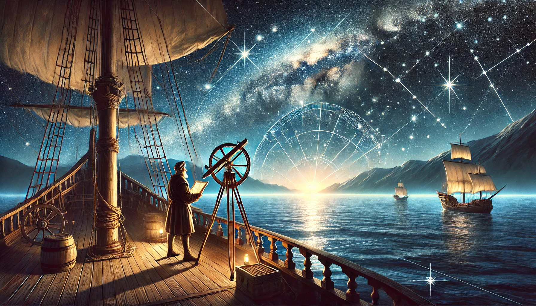
Throughout history, the stars have served as a guide for countless explorers and navigators. Astronomy has played a crucial role in navigation by helping people determine their position and direction using celestial bodies. From ancient civilizations to modern maritime travel, the night sky has provided a reliable map for those seeking to traverse vast oceans.
Early navigators relied on their knowledge of the stars to safely reach distant lands. They developed techniques that utilized constellations and celestial movements, shaping maritime exploration and trade. Today, although modern technology has transformed navigation, the principles of using stars for direction remain an important part of our history.
As one gazes at the night sky, it’s fascinating to think about how these celestial objects guided sailors across uncharted waters. The interplay of astronomy and navigation showcases humanity’s long-standing relationship with the cosmos, inviting curiosity about how stars can still aid in finding one’s way even in the modern age.
History of Astronomical Navigation
Astronomical navigation has evolved through many stages, showcasing human ingenuity and the drive to explore. From the earliest methods used by ancient civilizations to the modern technologies of today, this history is rich and fascinating.
Early Methods and Tools
In ancient times, navigators relied on the stars to guide their travels. They observed the night sky and noted the positions of specific stars and constellations. For example, the North Star, or Polaris, helped sailors find true north.
Ancient civilizations like the Egyptians and Greeks created tools such as the astrolabe and cross-staff. These instruments calculated the angle of celestial bodies to determine latitude. Basic charts and maps of the stars were also developed, allowing for more accurate navigation.
The Age of Exploration
The 15th to 17th centuries marked a significant era known as the Age of Exploration. Explorers like Columbus and Magellan used astronomical navigation techniques to cross oceans. They relied heavily on the positions of stars and planets to chart their courses.
During this period, advancements in navigational tools were made. The sextant was introduced, allowing for precise measurements of celestial bodies. This tool improved sailors’ ability to determine both latitude and longitude, which was crucial for successful voyages.
Modern Advances
Today, astronomical navigation has been transformed by technology. Satellites and GPS systems now dominate the field, providing real-time data to navigators. However, the principles of using celestial bodies remain relevant.
Astronomers continue to study the stars and planets, contributing to navigational techniques. Schools teach students about the night sky, ensuring the ancient methods are not forgotten. While modern technology simplifies navigation, the history of astronomical navigation still plays an important role in our understanding of exploration.
The Celestial Sphere and Coordinates
The celestial sphere is an imaginary sphere that astronomers use to map the positions of stars and other celestial objects. Understanding this concept is crucial for navigation. Additionally, navigational coordinate systems help determine specific locations in relation to the celestial sphere.
Understanding the Celestial Sphere
The celestial sphere acts like a large globe surrounding Earth. It projects the positions of stars and other objects as if they were on its inner surface. Key points on this sphere include the celestial equator and celestial poles, which correspond to Earth’s equator and poles.
As Earth rotates, it creates the illusion that stars move across the sky. This movement is essential for navigators, as it allows them to use known stars to find their direction. For instance, the North Star, Polaris, is located nearly directly above the North Pole and helps travelers determine their northward position.
Navigational Coordinate Systems
Navigational coordinate systems are used to define the positions of objects in the sky. These systems are based on angles measured from reference points on the celestial sphere. They include a few types, such as equatorial and horizontal coordinates.
Equatorial coordinates rely on two main angles: right ascension and declination. Right ascension is similar to longitude, and declination acts like latitude. These coordinates make it easier to locate stars, planets, and other celestial objects.
Horizontal coordinates use the observer’s local horizon, focusing on altitude and azimuth. Altitude measures how high an object is in the sky, while azimuth describes its angle along the horizon. These systems are vital for precise navigation and understanding celestial events.
Instruments of the Navigator
Navigators have relied on various tools throughout history to find their way by the stars. Each instrument has played a crucial role in ensuring accurate positioning while navigating at sea or in the air.
The Sextant and Its Use
The sextant is a key instrument in celestial navigation. It allows navigators to measure the angle between a celestial body and the horizon. By knowing this angle, they can determine their latitude and longitude.
To use a sextant, a navigator points the instrument at a star or the sun. They then adjust a hinged arm called the index arm until the celestial body aligns with the horizon. Reading the scale gives them precise measurements needed for navigation.
This technique has been essential for sailors, especially before the age of electronic devices. Today, sextants are still used as a backup method and for training purposes.
Chronometers and Timekeeping
Chronometers are vital for accurate navigation. These precision timepieces allow navigators to keep track of time at sea. Knowing the exact time helps determine longitude accurately.
When a navigator knows their position’s latitude, they can calculate their longitude using a chronometer. The chronometer must be set to Greenwich Mean Time (GMT). This ensures that measurements taken across various time zones are synchronized.
Chronometers are expertly crafted to resist conditions at sea, such as high humidity and temperature changes. They have been a reliable tool since the 18th century, greatly improving naval navigation.
Electronic Navigation Aids
With advancements in technology, electronic navigation aids have become essential for modern navigators. GPS (Global Positioning System) is among the most widely used tools today. It provides real-time location data, making navigation more accessible and precise.
Many vessels now combine GPS with other electronic systems. These include radar and sonar, enhancing situational awareness. Electronic charts also display clear information about water depths, hazards, and safe routes.
Despite these modern tools, traditional instruments like sextants and chronometers remain valuable. They act as backups in case electronic systems fail, ensuring that navigators can always find their way.
Practical Navigation: Techniques and Calculations
Understanding how to navigate using celestial bodies is essential for mariners and adventurers alike. The techniques involve precise calculations to determine one’s position on Earth and effectively plot a course.
Determining Latitude and Longitude
To find latitude, navigators often use a sextant to measure the angle of the sun at local noon. The sun’s highest point in the sky directly correlates with latitude. For example, if the sun is 60 degrees above the horizon, the observer is sitting at 60 degrees north or south.
Longitude is a bit trickier. It requires knowing the exact time at which the angle was measured. By comparing this time to the time at the Prime Meridian (0 degrees longitude), navigators can calculate their longitude. A difference of one hour equals 15 degrees of longitude.
Celestial Navigation in Practice
Mariners utilize celestial navigation by referencing specific stars and their predictable paths. The North Star, or Polaris, is commonly used in the Northern Hemisphere to help determine latitude.
Navigators can also chart a course by observing other celestial bodies, like the moon or planets. Different constellations and their positions can indicate the time of year and assist in navigation. For an accurate calculation, sailors might record observations at regular intervals and use the information to track their journey.
These methods offer reliable alternatives when modern technology, like GPS, fails. Celestial navigation combines skill and knowledge, ensuring sailors can reach their destinations safely.